Feb 15, 2023
For three Georgia Tech researchers, a trip last fall to Puerto Rico to study how Hurricane Fiona changed the island was also personal.
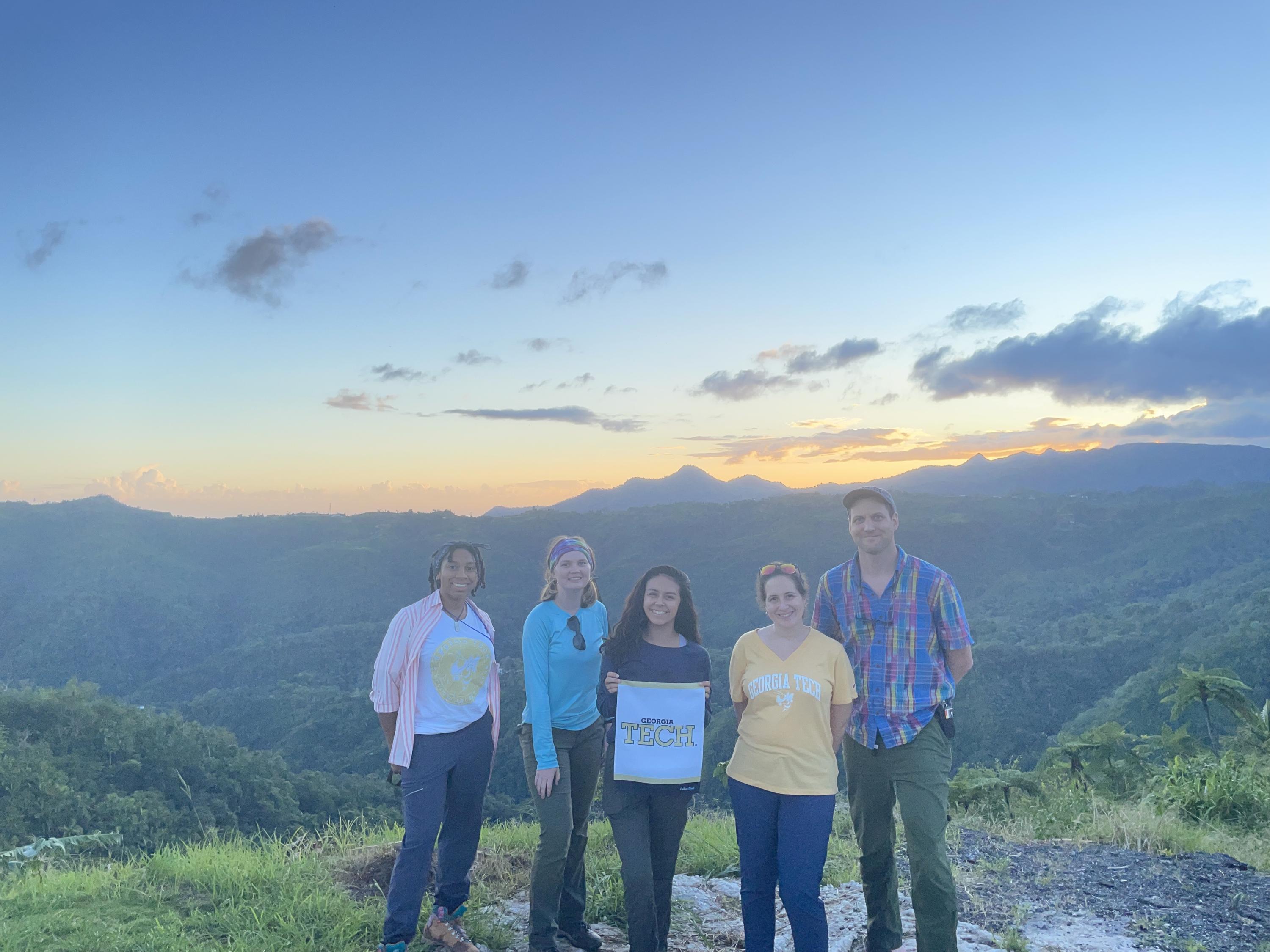
In October 2022, Frances Rivera-Hernández headed to the island. On this trip, she was joined by research partners, Karl Lang, a fellow assistant professor in the School of Earth and Atmospheric Sciences, and Rafael Bras, also of Georgia Tech.
Bras is the K. Harrison Brown Family Chair and a professor in the School of Civil and Environmental Engineering (CEE) with a joint appointment in Earth and Atmospheric Sciences — and, like Rivera-Hernández, a native of Puerto Rico. For a decade, he served as provost and executive vice president for Academic Affairs at Georgia Tech, and today he continues to research ways to protect communities from disasters.
In October, the research team’s mission was to learn more about how Hurricane Fiona, which hit in September 2022, had devastated the island’s landscape — and how it had potentially created other long-term geohazards like unstable hill slopes, debris and rock falls, and landslides.
Supported by National Science Foundation (NSF) funding, the researchers’ ultimate goal is to one day create a national center for the study of geohazards, “with Georgia Tech as the lead institution,” Bras said. “We surmise there will be several ‘hubs’, one of which would be Puerto Rico.”
While it was still a major, deadly storm, Fiona turned out to be less damaging than Hurricane Maria, the 2017 storm that was one of the worst to strike Puerto Rico. After Maria, both Rivera-Hernàndez and Bras had to deal with long-term power outages affecting cell phones before they could check in on loved ones.
Fiona did give the researchers a chance to gather more data on surface hazards in the wake of a natural disaster. “We can use that information to better prepare communities,” Rivera-Hernández said. “That's another thing that we're working on with the geohazards, developing something called ‘Landslide Ready,’ which would be able to educate the public on if a landslide does happen, you know what you should do. But before that, we need to know. Where are they more frequently occurring? What's the cause? How much rain is needed to induce a landslide? We need science so we can better educate communities.”
‘Anything that has to do with Puerto Rico is personal’
Both Rivera-Hernández and Bras lived through hurricanes as they were growing up on the island, and both have seen the wide-reaching impact of major storms’ wind gusts, flooding, and landslides on friends and families.
When Maria hit the island, Bras’ niece, who runs a farm growing culinary mushrooms, had to deal with a months-long power outage that affected refrigeration and distribution.
“Maria was so catastrophic. I cannot begin to describe how catastrophic it was. It was equal opportunity that way.” Bras also had a friend on the island who worked as an executive for a major business in Puerto Rico. “And for a month, he didn't do anything but get up in the morning and drive around looking for water and food. At least he still had some money here, and he still had a car. He still could get gas for it, but he had to wait in lines for half a day to get gas. Everybody had to do it.”
Basic communications are always a problem during hurricanes, especially Maria, Rivera-Hernández said. “Fiona wasn't as bad. Hurricane Maria was really, really bad. People didn't have power for six months to a year. The magnitude and how many people it impacted was greater, compared to Fiona.”
No power means no cellphones, no gas for cars, and no way to use credit cards, an aftereffect of major hurricanes that has left its impact on island residents. “Yes, have a stash of cash,” said Rivera-Hernàndez. “I think Puerto Ricans are generally using more cash than on the mainland. That’s another example of something that was big at the time.
“I think it took like a week or two just to communicate to people and Puerto Rico because the whole power system was out, which means the cell networks are completely out — it took a long time for people outside of Puerto Rico to even learn what’s going on because nothing was getting out.”
As a planetary geologist, Rivera-Hernández’s primary research interests are astrobiology and planetary science — think Mars rovers and ancient lake beds in Antarctica. Before this effort with Bras and Lang, she had never studied landslides before the two hurricanes hit the island. “Most of my work is focused on trying to better understand other planetary bodies. But when Rafael and I started talking about this, we decided this is something that's really important to us. It was a no-brainer.”
And as Rivera-Hernández, Bras, and Lang work together with students and a network of researchers to unlock remaining mysteries of landslides, the people their research could help the most in Puerto Rico are those living in the island’s interior, with its steep hillsides.
“I think that's an important point to make because those are often parts of the community that are very easily isolated,” Lang said, “and it's often the isolation that is deadly — for example, when power isn't restored to a hospital that's remote.”
Rural and remote risks
The effort to study Hurricane Maria’s geohazards has already earned the wider team — which includes researchers from the University of Puerto Rico at Mayagüez (UPRM) and the University of Colorado, Boulder — a National Science Foundation Track One Center Catalyst grant for their proposal: “Collaborative Center for Landslides and Ground Failure Geohazards.” “UPRM is instrumental in this effort,” Lang said. “The work would not be possible without them.”
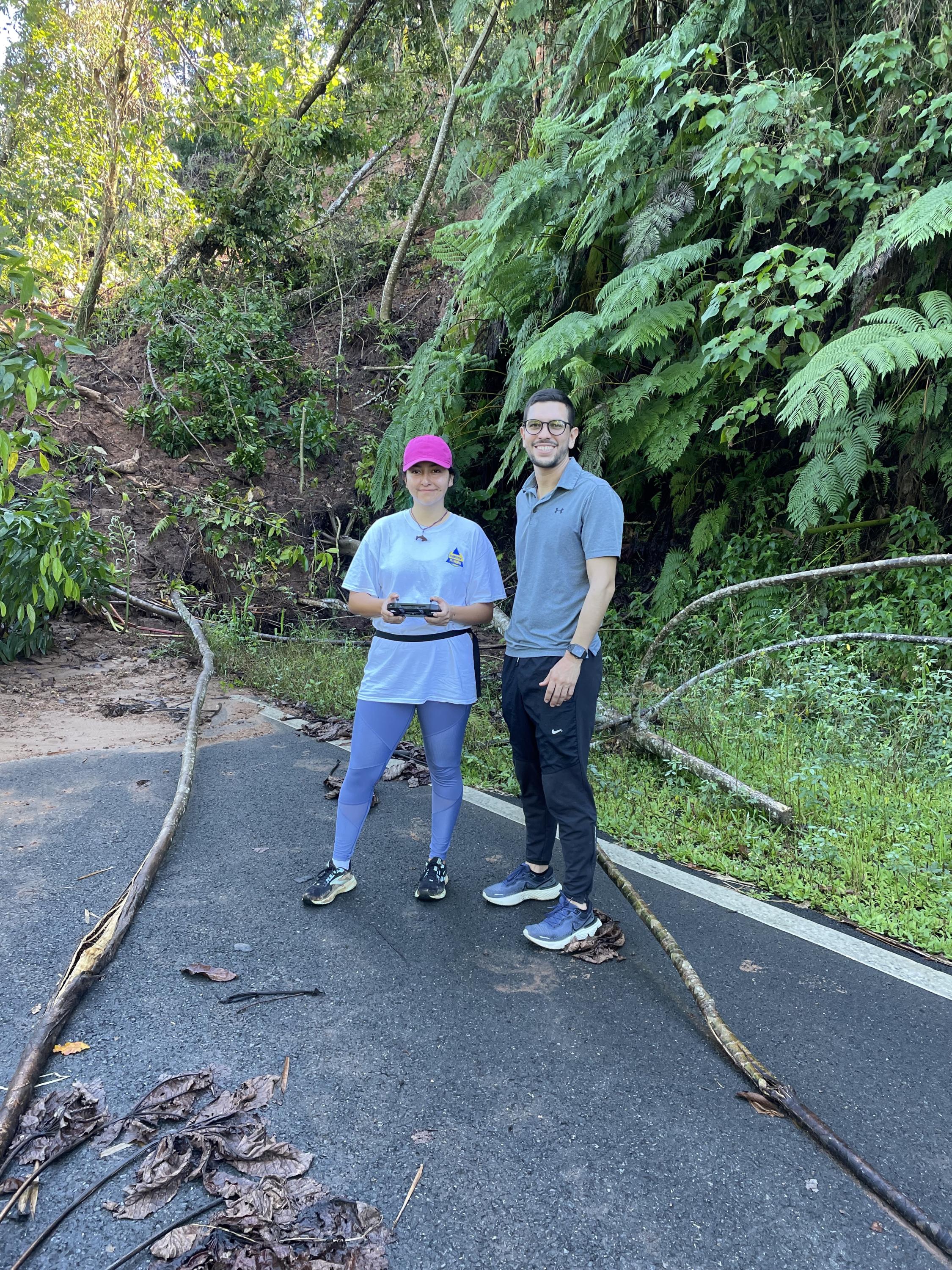
More recently, a GEER (Geotechnical Extreme Events Reconnaissance) expedition associated with Hurricane Fiona has helped Bras, Lang, and two CEE students, Paola Vargas Vargas and Jorge Lozano Ramirez, remain on the island to continue their research and study evidence left by the storms. Sponsored by the NSF, GEER is an initiative developed by geotechnical earthquake engineering community members to study infrastructure damage from natural disasters, and it can be rapidly awarded after those disasters strike.
After Fiona, the trio of researchers were able to quickly apply for two more grants, one from the Heising-Simons Foundation and an NSF Rapid Response Research (RAPID) Award. That allowed them to revisit the island in November 2022 to gather more data. “They (NSF) try to be quick in responding to situations that were not foreseen,” Lang said. “We got the RAPID funded because landslides, as they happen, are being removed by people on the ground who need to clear the road. The RAPID supports us to collect information before it is lost.”
The sources of funding target various needs for the team. “What we've been doing is cobbling together different sources of money to be able to do both the scientific side, and then also setting up this broader community geohazards center.” Bras is currently working on an NSF Track II funding grant that would help establish that center.
The NSF Track I geohazard proposal and the RAPID Award “have clear societal relevance,” Lang added. “By mapping the location, volume and mechanism of landslide failure after a storm event we can better predict where and how landslides may occur after future storm events. Similarly, by recording how floods transport landslide-derived sediment, we can predict the area and volume of flood inundation.”


